
Pipeline Mapping
In the constantly changing realm of utility management and infrastructure maintenance, innovation plays a critical role in securing effectiveness, dependability, and sustainability. Countless towns and cities around the world don’t know exactly what lies beneath, or where it is. This is a problem when installing new infrastructure, assessing the condition of the pipes, and much more. One accurate and unobtrusive method to map pipelines is utilizing a gyroscope and has been used in a variety of domains, spanning electricity, water, gas, and telecommunications – to name a few.

Gyroscopic pipeline mapping, also known as gyroscopic surveying or gyroscopic logging, is a technique used in many industries to accurately map the orientation and trajectory of an item; it could be a pipeline or even a missile! This technology is crucial for ensuring that pipelines are installed correctly and positions accurately recorded. This positional data can be used to provide accurate as-built prints and incorporated into geospatial mapping platforms, such as Google Earth.
With the intricacy of infrastructure, knowing the exact location, orientation, and trajectory of pipelines is the difference between a successful project and an expensive mistake. At American Pipeline Solutions, we can provide you with x, y, z (pitch, roll, and azimuth) within a foot of accuracy, using gyroscopic technology, and we are THE ONLY COMPANY that can do it on a LIVE PIPELINE with a free swimming gyroscope.
The Process:
Here's an overview of the process involved in gyroscopic pipeline mapping:
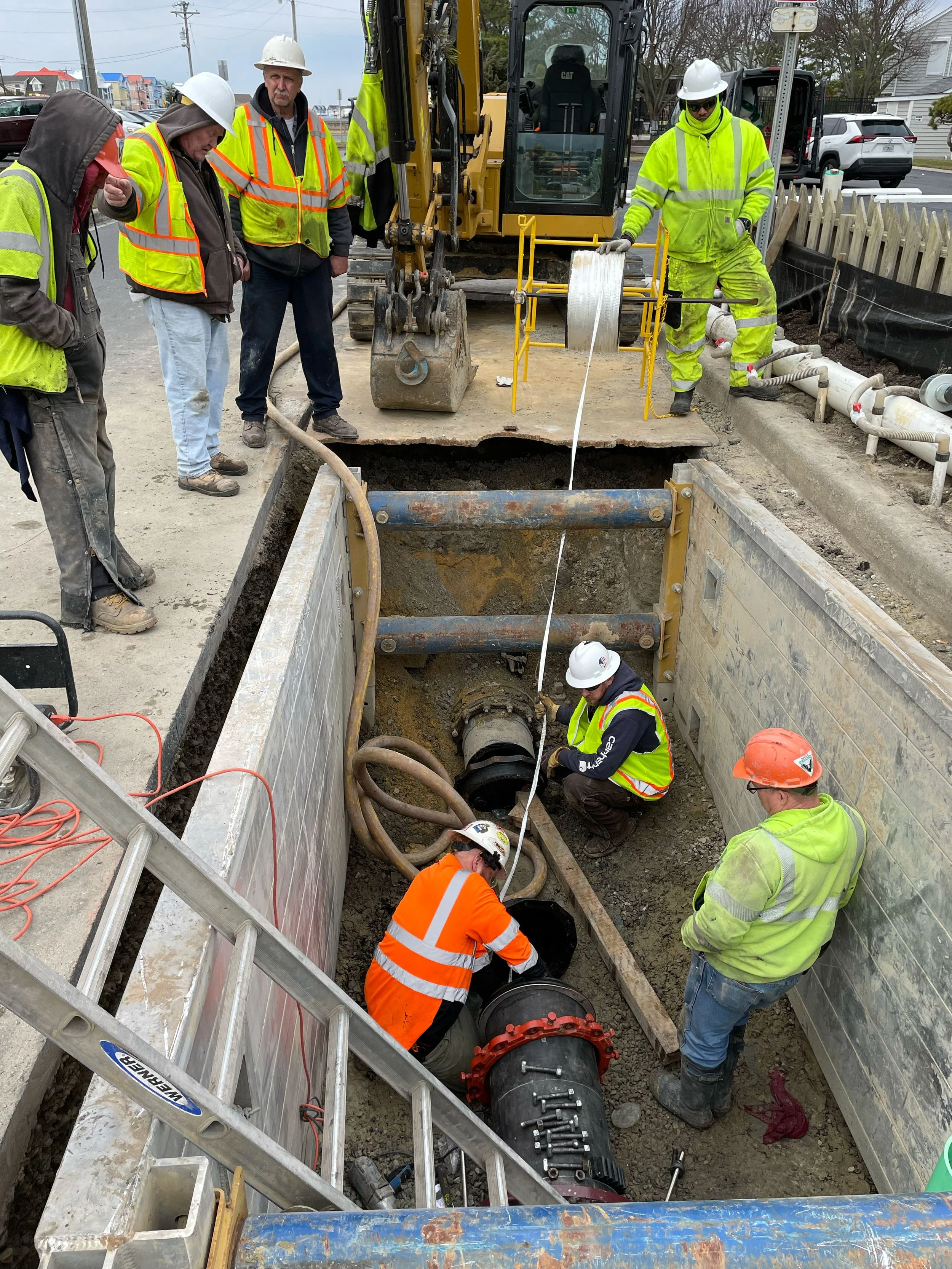
1. Equipment Setup
Gyroscopic Surveying Tool: The heart of the process is the gyroscopic surveying tool, which contains a gyroscope that measures the pipeline's orientation. These tools are often referred to as gyroscopes or gyro tools.
2. Deployment:
The gyroscopic surveying tool is attached to the logging cable, and the assembly is lowered into the pipeline from a surface location, such as a wellhead or access point. In the case of a live pipeline, a gyro pig will be launched from a selected point and retrieved at another point downstream.
3. Data Acquisition:
As the gyroscopic tool travels through the pipeline, it continuously measures the orientation of the pipeline in three dimensions relative to a reference point. The gyroscopic tool's sensors are highly sensitive and provide precise measurements.
4. Data Analysis:
After the gyroscopic survey is completed, the collected data is uploaded to the cloud to be analyzed. From the information, our team can create a detailed map of the pipeline's trajectory and orientation. The data can be visualized in 2D and 3D formats.
5. Report Generation:
A comprehensive report is generated based on the analysis of the gyroscopic data. This report includes information about the pipeline's depth, pitch, roll, azimuth, and any deviations or changes in diameter detected during the survey.
6. Interpretation and Decision-Making:
Engineers and pipeline operators interpret the gyroscopic survey data to make informed decisions regarding pipeline maintenance, repair, or replacement. They can identify areas where the pipeline deviates from its intended path or where there are issues that may require attention.
7. Documentation and Compliance:
The gyroscopic survey data is an essential component of regulatory compliance and documentation for newly installed pipeline and pipeline integrity management. It helps demonstrate that pipelines are in good condition and meet safety standards.